We use our experience and expertise to:
- Define and mark the perimeters of your property
- Indicate boundary lines between your property and neighbors
- Indicate internal boundary lines if you own multiple joining properties
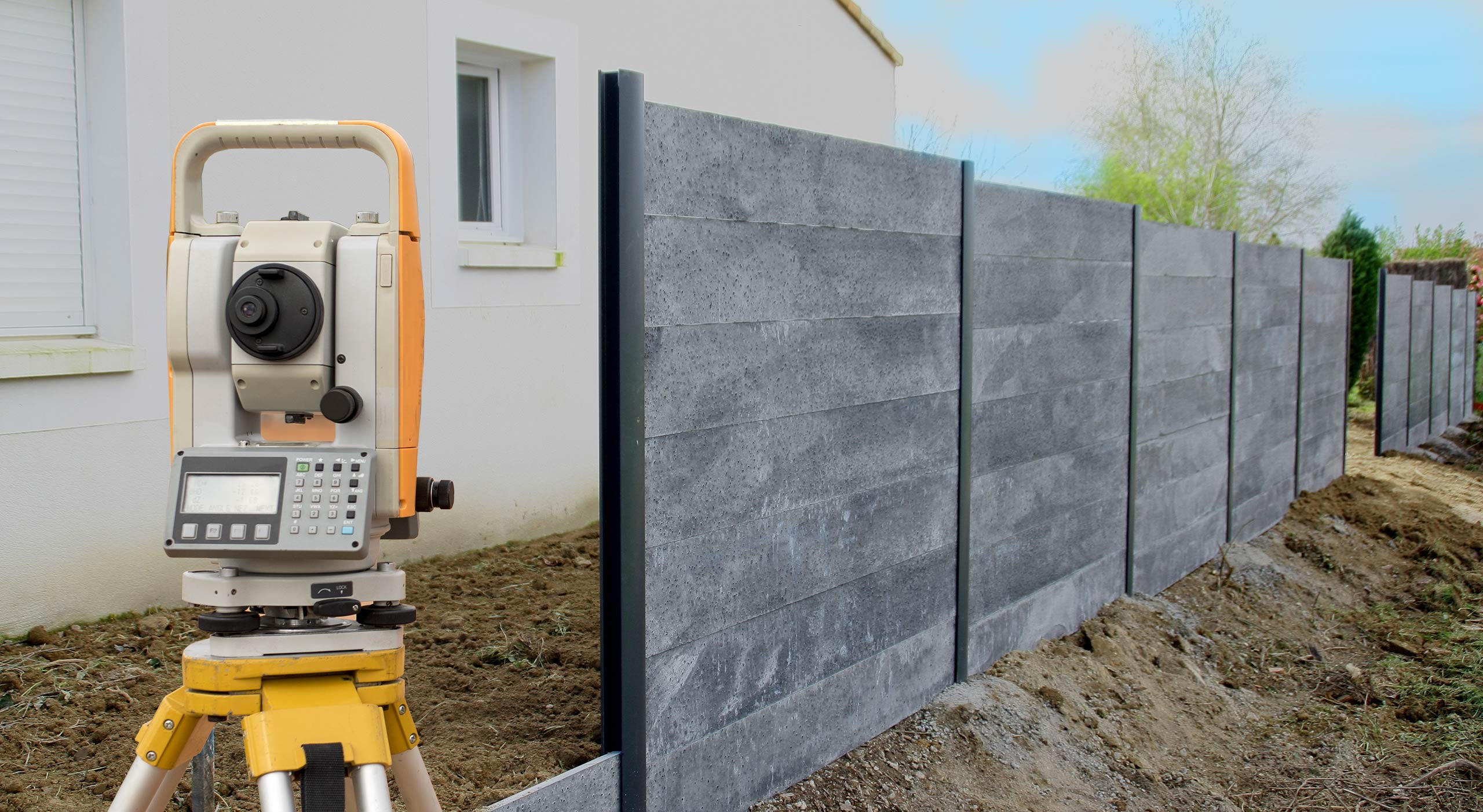
In order to make these accurate boundary judgements we:
- Utilize a variety of high-tech equipment
- Review your deed and those of surrounding properties
- Review other external factors: road alignments, shorelines, easements and other agreements and encumbrances
Our goal is to define the property lines so they are accurate and legally defensible.
Before you design or build on your property, you may need an accurate map of the existing conditions. We provide the base-map of your plan so you can optimize your plan to:
- Minimize costs of your project
- Maximize use of your land
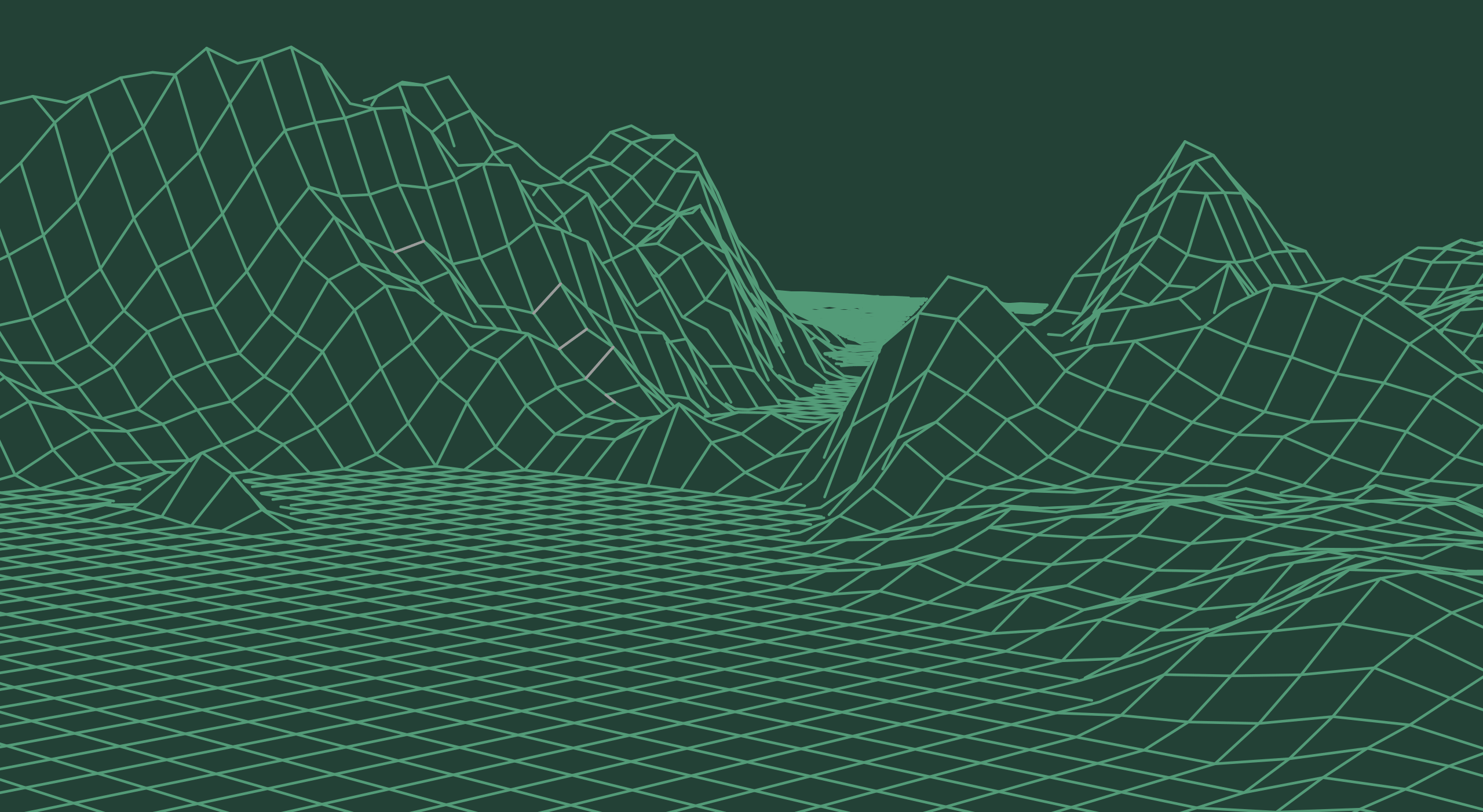
Simply put, a topographic survey map shows:
- Ground contours (lay of the land)
- Physical improvements
- Natural conditions such as water and other critical areas
- Protected or desirous trees and landscaping
- Underground and overhead utilities
- Other key elements of a project
The 3D data we collect defines the site characteristics on a 2D site plan.
CSI Land Surveying and Thornton Surveying join forces!
After more than two decades of collaboration, CSI Land Surveying and Thornton Surveying are formally unifying under the Thornton banner. What began as a partnership in 2004 has evolved into a fully integrated operation, bringing together CSI's 30+ years of expertise in the Kitsap Peninsula with Thornton's established presence in the Gig Harbor area since 1962.
What This Means for You:
- One Point of Contact: All services and correspondence will now flow through Thornton Surveying's team, while our commitment to the Kitsap community remains unchanged.
- Expanded Expertise: Benefit from the combined knowledge of both firms' professionals, now working as a unified team.
- Advanced Technology: Access an enhanced suite of services, including advanced GPS, UAV aerial drone mapping, and bathymetric sounding, backed by the resources of our integrated operation.
Decades of Surveying Experience
Our licensed surveyors and skilled professionals hold themselves to an exacting standard, it's the foundation of how both firms have built lasting reputations across the Puget Sound. With decades of combined experience surveying Kitsap, Gig Harbor, and the broader Pacific Northwest, our team brings deep regional knowledge to every project.
For questions or to discuss your surveying needs, please contact us at 253.858.8106 or dave@csisurveying.com.
Thank you for your continued confidence in our work.