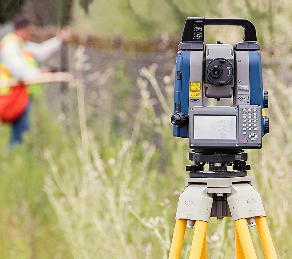
Boundary Surveying
We use our experience and expertise to define and mark the perimeters of your property, indicating boundary lines between your property and neighbors or internally if you own multiple joining properties. This procedure isn't merely using our equipment to make the boundary judgements, we also review your deed and those of surrounding properties, as well as other external factors (road alignments, shorelines, easements and other agreements and encumbrances). Our goal is to define the property lines so they are accurate and legally defensible.
Standard Boundary Survey
The core of our profession is defining and mapping occupational ownership, marking deeds, and opining issues regarding the construction and intent of those deeds. Our expertise as Licensed Surveyors can help determine the limits of one's described and deeded property and which, more often than not, is fully accepted by all adjoining neighbors. In the process of this work we are often obligated by law to create a survey map which must include evidence of occupation.
The research we perform will typically include reviewing your deed and those of surrounding properties, road alignments and other public interests, shorelines, easements and other agreements and encumbrances, historical evidence, the public record (County Auditor's office), and available credible and pertinent testimony. A survey of this manner may bare witness to a difference between title and occupation. Our findings can assist the client and their neighbors in resolving and correcting any discrepancies. It may also serve as the primary tool used by the client and an experienced land-use attorney in clearing potential defects in title or in defending or asserting a claim of ownership.